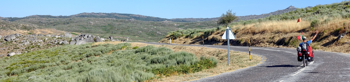
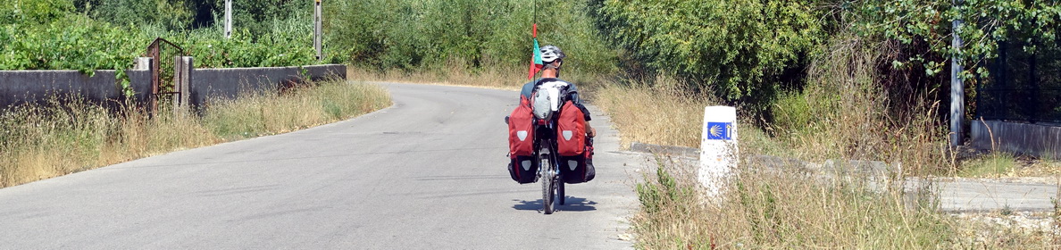
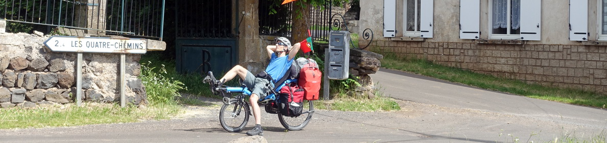
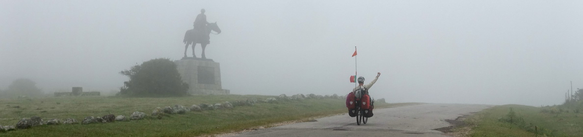
From the 6th to the 22nd of July 2016 we cycled 893 kilometres from Bayonne to Santiago de Compostela, following mostly the northern way or camino del norte (with a few variations). Here we share some of our experiences and some tips that we hope may be useful for other people wanting to cycle in the north of Spain. We did not follow the actual signposted Santiago way, as with our heavily loaded touring recumbents (about 30 kg of luggage each) it would have been too tough. We usually followed the closest roads.
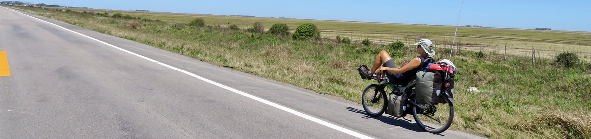
We enjoyed cycling the Camino del Norte very much. It’s a very beautiful region: There is the ocean, there are mountains, and there’s a lot of green countryside and most of the way is very scenic. It is easy to find accommodation and food, and there are plenty of occasions for visiting cities and getting cultural experiences. But beware that it’s not flat at all, there are a lot of hills and some of them can be steep. Although we were there in July, we had only few very hot days. The sky was quite often overcast but we rarely got rain. Some days, and especially the evenings, were quite cool, so we were happy to have brought warm sweaters, and it was also often windy, so our Gore-Tex Jackets got quite regular use.
Orientation and planning
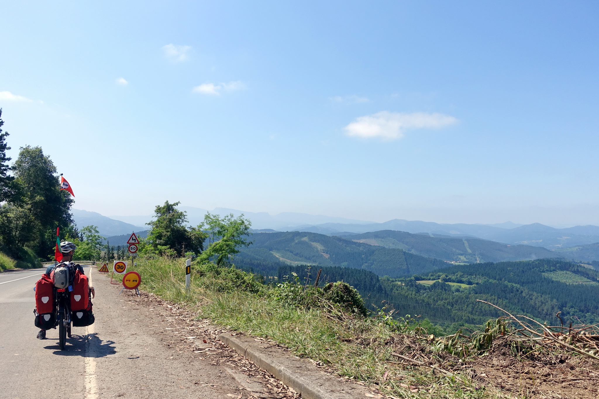
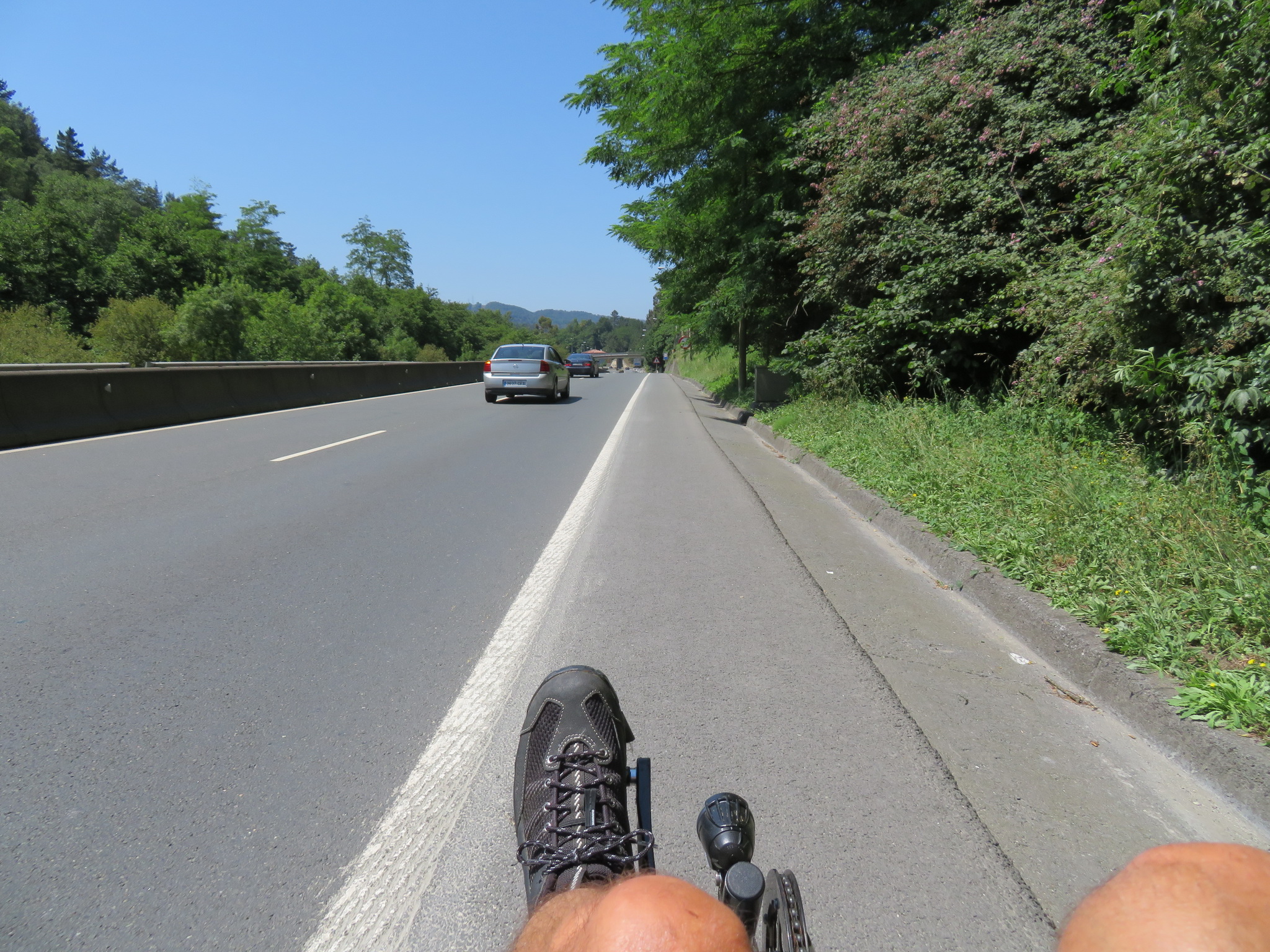
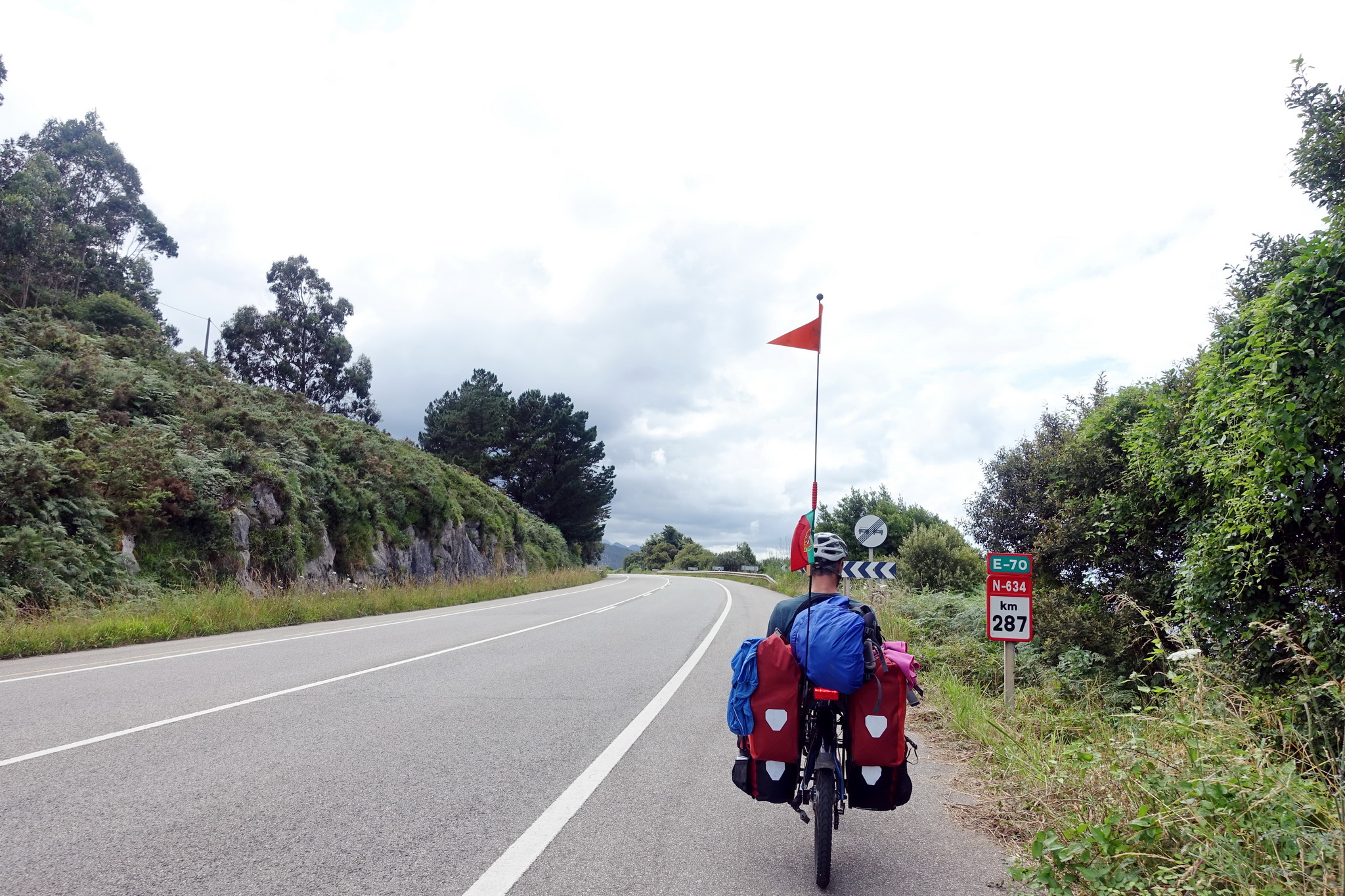
We mainly cycled on national roads (of which the most important are the N634 and the N632) which were very quiet most of the time, had good quality road surface, and often a large shoulder to cycle on. Road cycling is very popular in Spain, so Spanish drivers are used to seeing cyclists on the road and they always gave us plenty of space when overtaking (but note that we’re on recumbents, so there’s also the effect of the unknown object which makes people slow down to have a look).
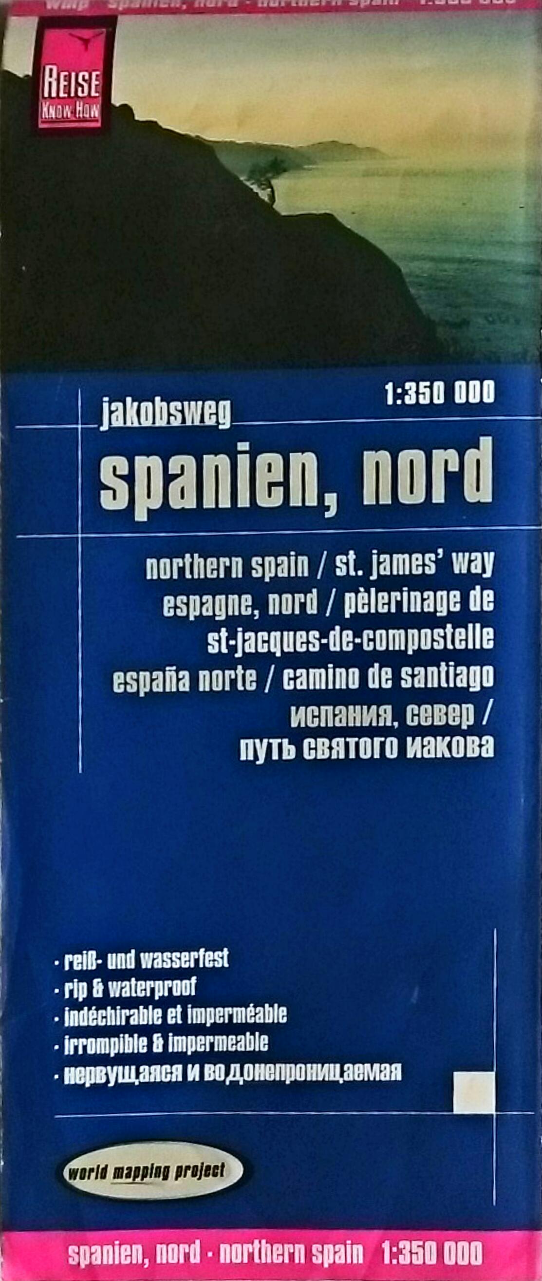 We used a paper map for general planning: We liked Reise Know How’s Northern Spain/St. James’ Way. It’s not very detailed but it’s useful for getting an overview, and has campsites marked on it.
 We used the OsmAnd smartphone app for everyday navigation and for finding accommodation and other services. We also downloaded the contour lines which were very useful to decide which road to take, depending on the steepness.
At the beginning we also used the cycle.travel website to plan and generate GPX files, but we soon stopped using it as it kept trying to avoid national roads and taking small (often steep and non-asphalted) roads instead (note: we have found cycle.travel to be very useful and accurate in other countries such as France and Portugal).
Sleeping, eating and drinking
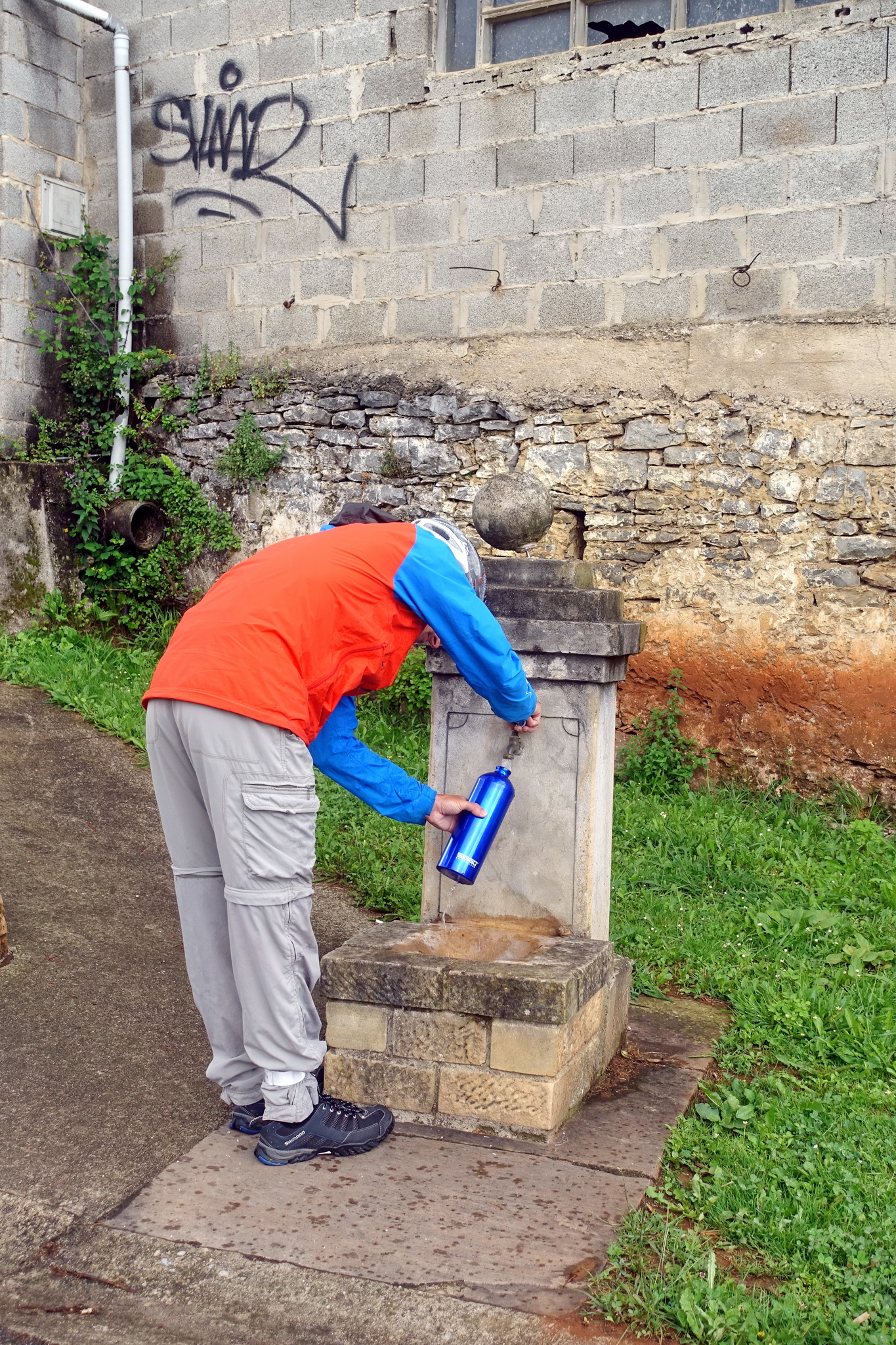
The area is quite densely populated so food and water supply are never an issue. Drinking water fountains are common in parks and picnic places. Accommodation is also readily available, and with the exception of Santiago we never made reservations in advance.
Campsites are mostly located by the coast and all of the ones we used were of good quality (and some were excellent). Some have special offers for pilgrims. Many have swimming pools. In Spain bathing caps are very often mandatory in swimming pools (we used our Buffs instead, looking ridiculous…). In guesthouses we paid an average of 40 Euros per double room (most of the time without breakfast). Even when camping we almost never cooked as there are a lot of restaurants around, most of them not expensive. It would certainly be possible to do the Santiago way without carrying a tent and camping gear.
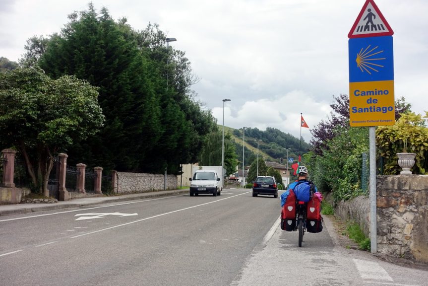
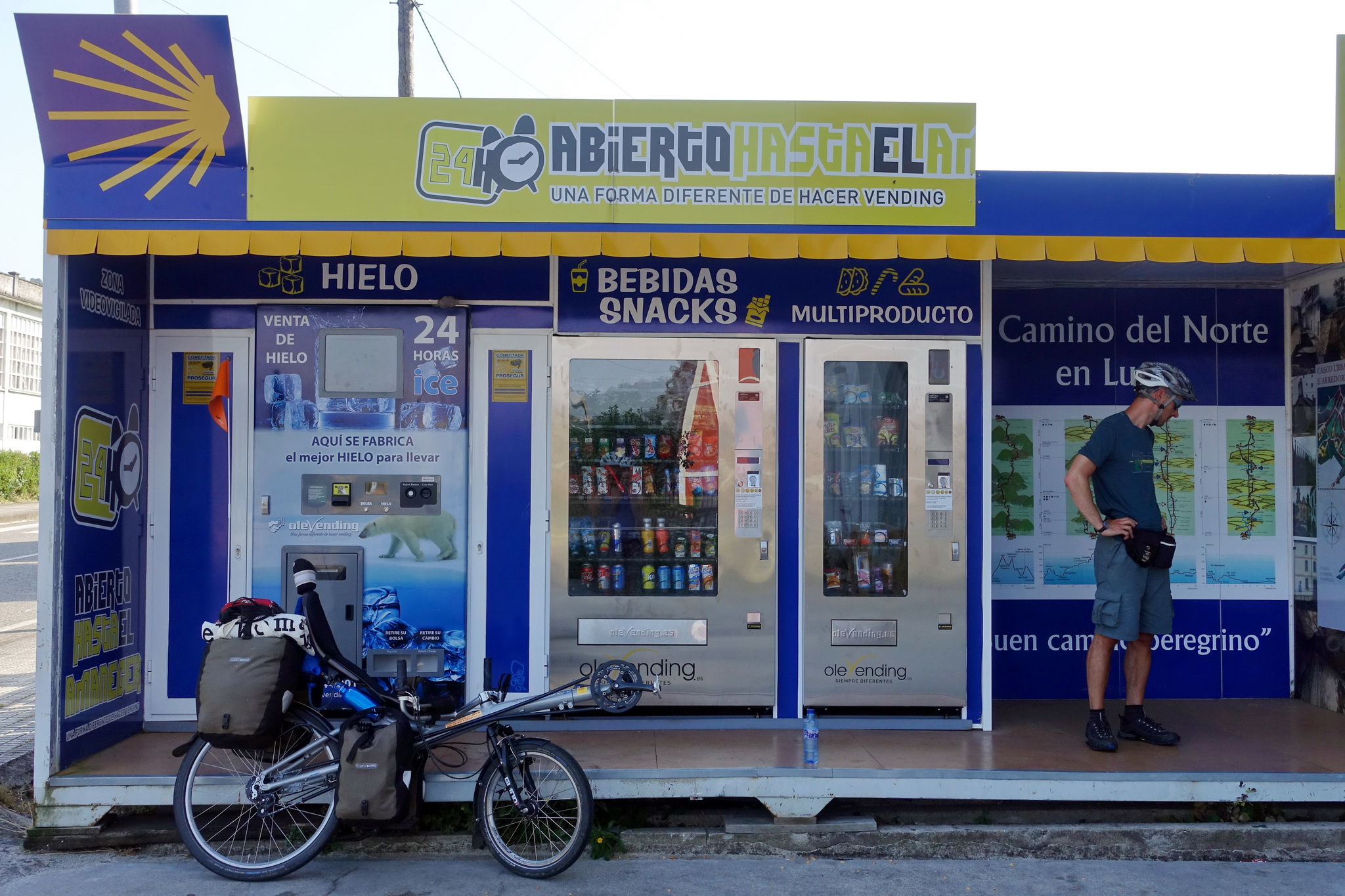
The pilgrims’ pass (Credencial):
It’s true that you have to have one in Spain in order to sleep in pilgrims’ hostels and to get special pilgrims’ offers (in some campsites and guesthouses), although they don’t check how many stamps you’ve got (we didn’t get the stamps regularly enough to get the compostela which certifies that you’ve completed the pilgrimage). We bought ours at the Tourist office in Hendaye for 8 Euros and retrospectively this is a bit expensive. There are many different credenciales around, as they’re usually available through the local St James association in many countries (every one makes their own, so there’s no “official” one). In Lugo we also received a small guide booklet for free which also had space for stamps and could also be used as credencial… So depending on how important this is to you we suggest googling around a bit before buying it, you may be able to just make your own or get it from your local catholic church.
Description of our itinerary:
Bayonne to Irún
Starting off in Bayonne we joined the Eurovelo 1 way which joined a nice cycle path along the river Adour and later the Atlantic Ocean. This way was quite well signposted until Hendaye and was sometimes on dedicated cycle paths, sometimes on roads, of which some had quite heavy traffic, especially around Biarritz. On the smaller roads, there were a couple of very steep short climbs where we had to push. The road after Saint-Jean-de-Luz was beautiful, climbing up on the cliffs with beautiful views. This also meant that we were not alone! But all in all drivers in France are well behaved so there were no major problems despite the traffic.
In Hendaye we followed the beach road which passes next to the tourist office, then continued on Eurovelo 1. This section is not always ideal for touring bicycles, some of the paths are narrow and shared with pedestrians, and we also encountered stairs which forced us to carry our bags and bikes down. But then it joined a nice large wooden walk/cycleway. There’s a pedestrian bridge going into Irún which is easy to reach from this wooden path with standard bikes, as there’s an elevator. Our recumbents didn’t fit into the elevator, so we had to continue straight for a while until we could turn left onto a small road and turn back towards the bridge. There’s a cycle path right after the bridge in Irún but it doesn’t lead into the centre of town, but it’s more or less straight ahead and not difficult to find.
Irún to San Sebastián
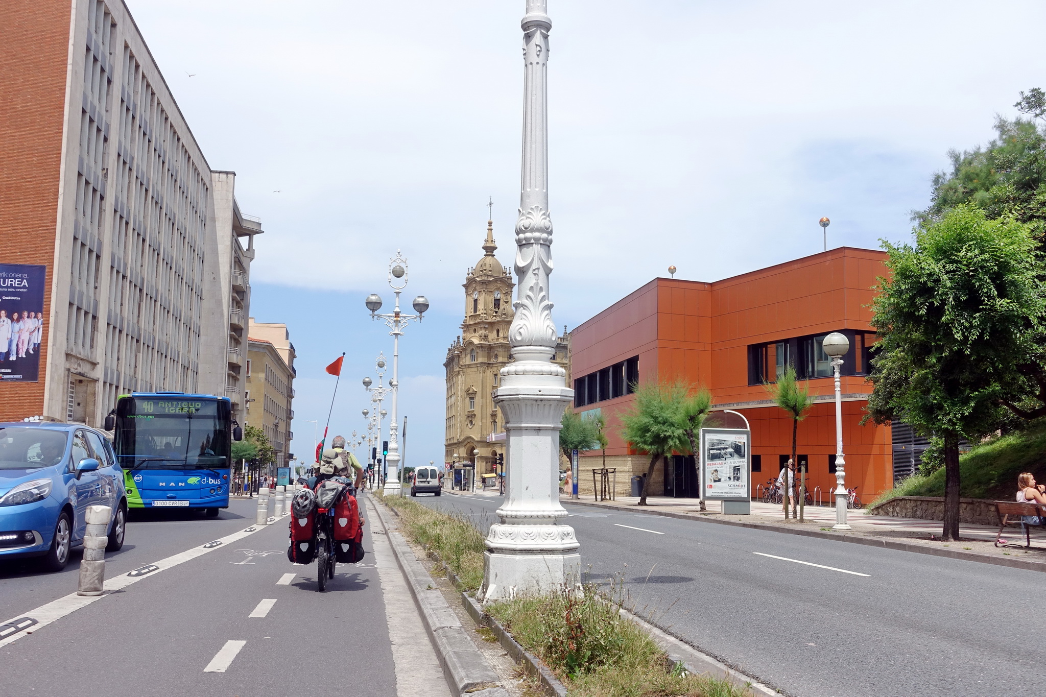
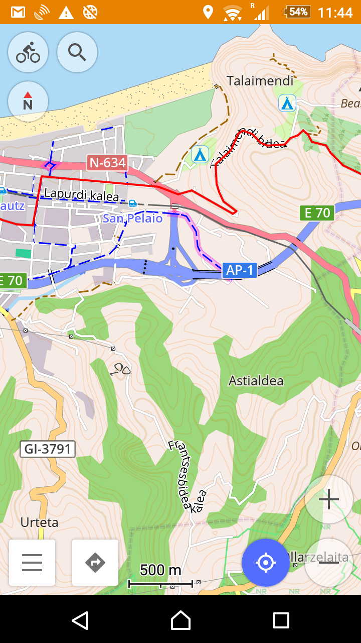
The actual Camino takes the road over the Jaizkibel pass which is famous for its steepness. Although it would certainly have been a scenic road, we chose a more direct and flatter way out of Irún, which worked well but is only advisable for experienced cyclists and in conditions of good visibility as it’s very heavy in traffic. From the centre of town we crossed the railway line towards the west to join Letxunborro hiribidea, a large road leading out of town across some industrial and commercial neighbourhoods. It joins the N638 (also marked GI 636 on Open Street Maps) which technically becomes a highway for a couple of kilometres, meaning that cars go very fast (120 km/h) and there’s quite dense traffic. At the same time, there’s a large shoulder most of the time and it’s good to cycle on. This road seems to be allowed for bicycles (we had a doubt at first), we saw other (road) cyclists going in the other direction. This bit is only about 2 km long and if visibility is good it’s still a good alternative to the hillier roads. At a big roundabout we took a smaller and quieter road (GI 2638) in the direction of Lezo, where we joined a cycle path which took us right into the centre and to the beach of San Sebastián. The city has a good network of cycle paths and there were many people cycling, although without a GPS orientation is difficult as there are no signs.
San Sebastián to Bilbao
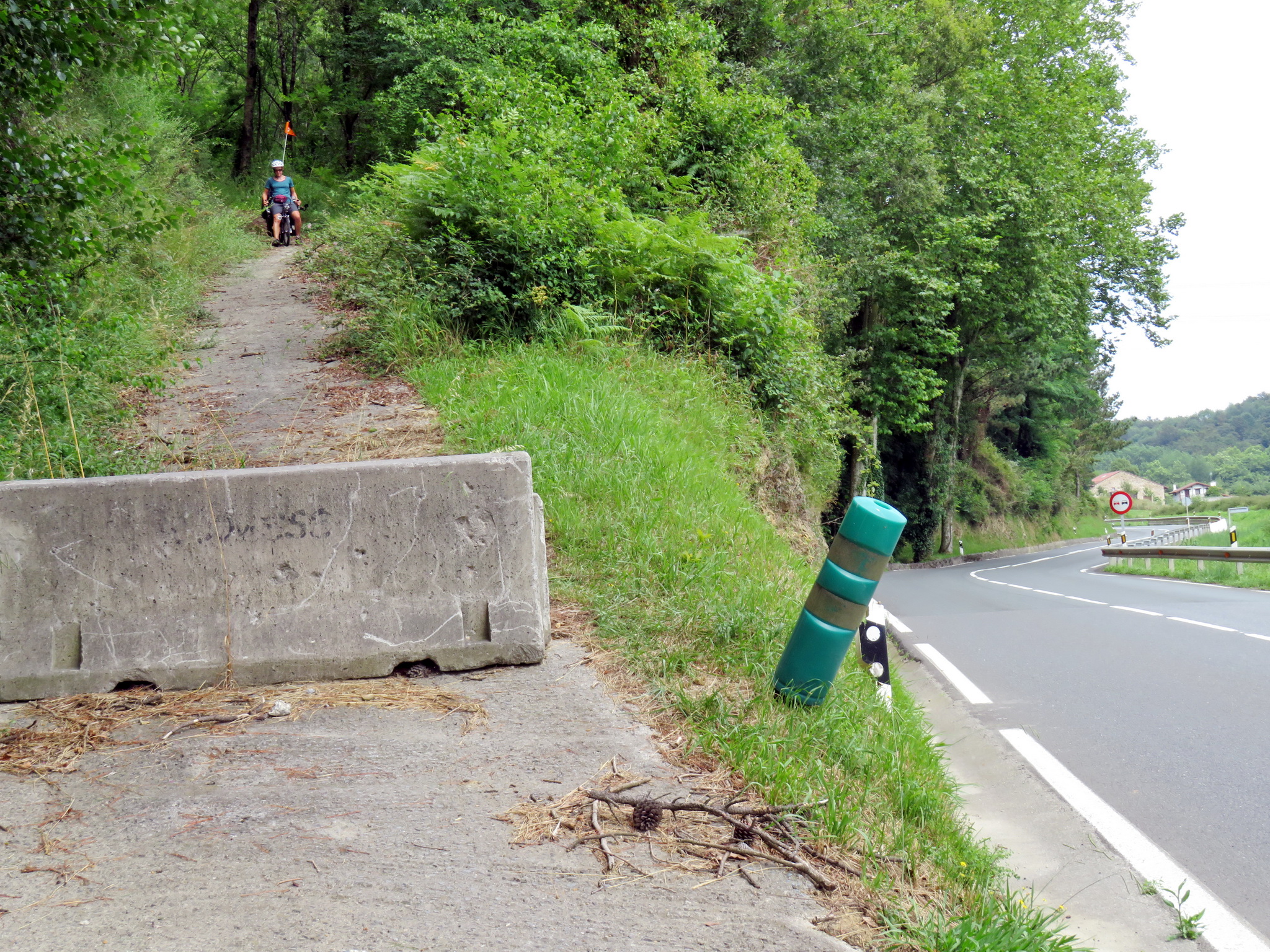
Going out of San Sebastián we made our first error of trying to take small roads. We followed the suggestion of cycle.travel, which led us southwest on a small road from the neighbourhood Ibaeta, along a small river (Igarra Erreka), and then south into the hills (the official Camino takes a road more north to Igeldo and on to Orio). The roads in these hills are extremely steep, we had to push a few times, ended up on a steep unpaved forest path, and by the time we finally joined the N634 we were exhausted. The Camino seems equally steep and probably not a better option. If we had to do this again, we would probably follow the main road in the direction of Lasarte-Oria (there’s a cycle path all the way) and from there join the N634 which has a bit of traffic and not always a shoulder, but which we found ok for cycling until Orio. In Orio we joined the Camino which follows the river until the beach of Oribarzar, then goes west up the hill (some more steep bits) and to the campsite of Zarautz (Gran Camping Zarautz). This is a big campsite and it was quite busy when we were there, but they have plenty of space for tents, good facilities, a dorm for pilgrims (which looked very basic and not very inviting, that’s why we preferred our tent), nice views and a restaurant serving a pilgrims’ menu (among other things).
From the campsite it’s all downhill to the town of Zarautz which has a beach and many shops and services. From there the Camino goes up again into the hills, but we chose to stay on the N634. It follows the coastline until Zumaia, where it loops inland for a while until reaching Deba. There’s a nice view on the Ocean and traffic is reasonable. The road is far from flat, there are a lot of uphills and downhills, but it’s never very steep.
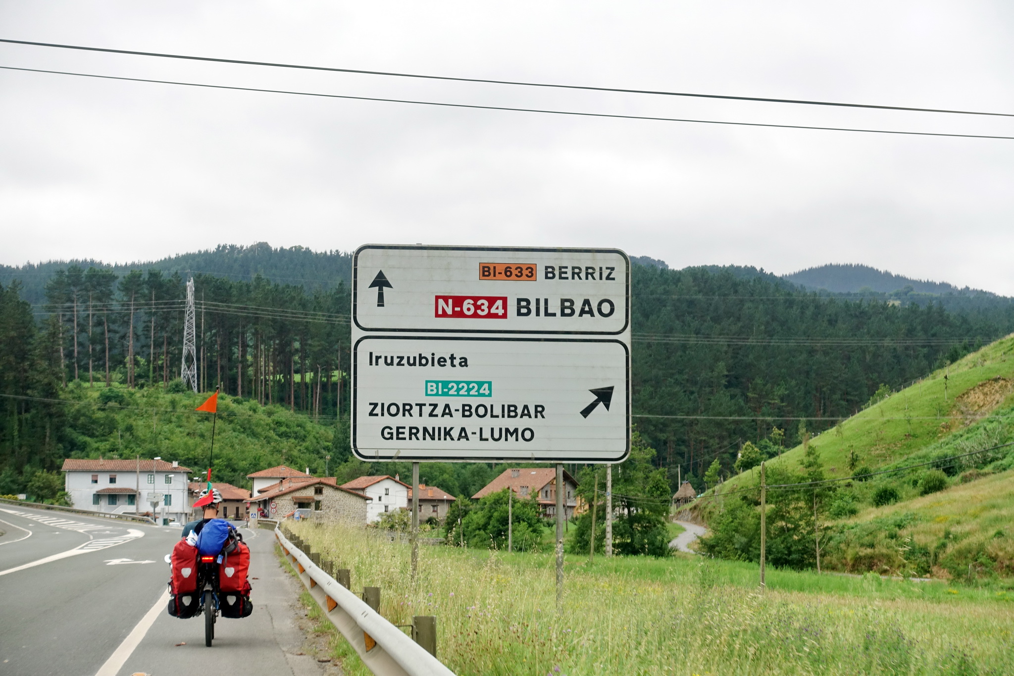
From Deba we took road 638 to Ondarroa, the 633 on to Markina, where we decided to push on to Gernika which is reached on road 2224. This road is beautiful and very quiet, although it’s more uphills and it was very tiring to do all the way from Zarautz to Gernika in one day (it helped that it was overcast and not very warm). Gernika has no campsite, we stayed in a guesthouse in the centre of town (Akelarre Ostatua) which also had room for our bicycles (we had to take them up to the 2nd floor, but the elevator was big enough so not an issue).
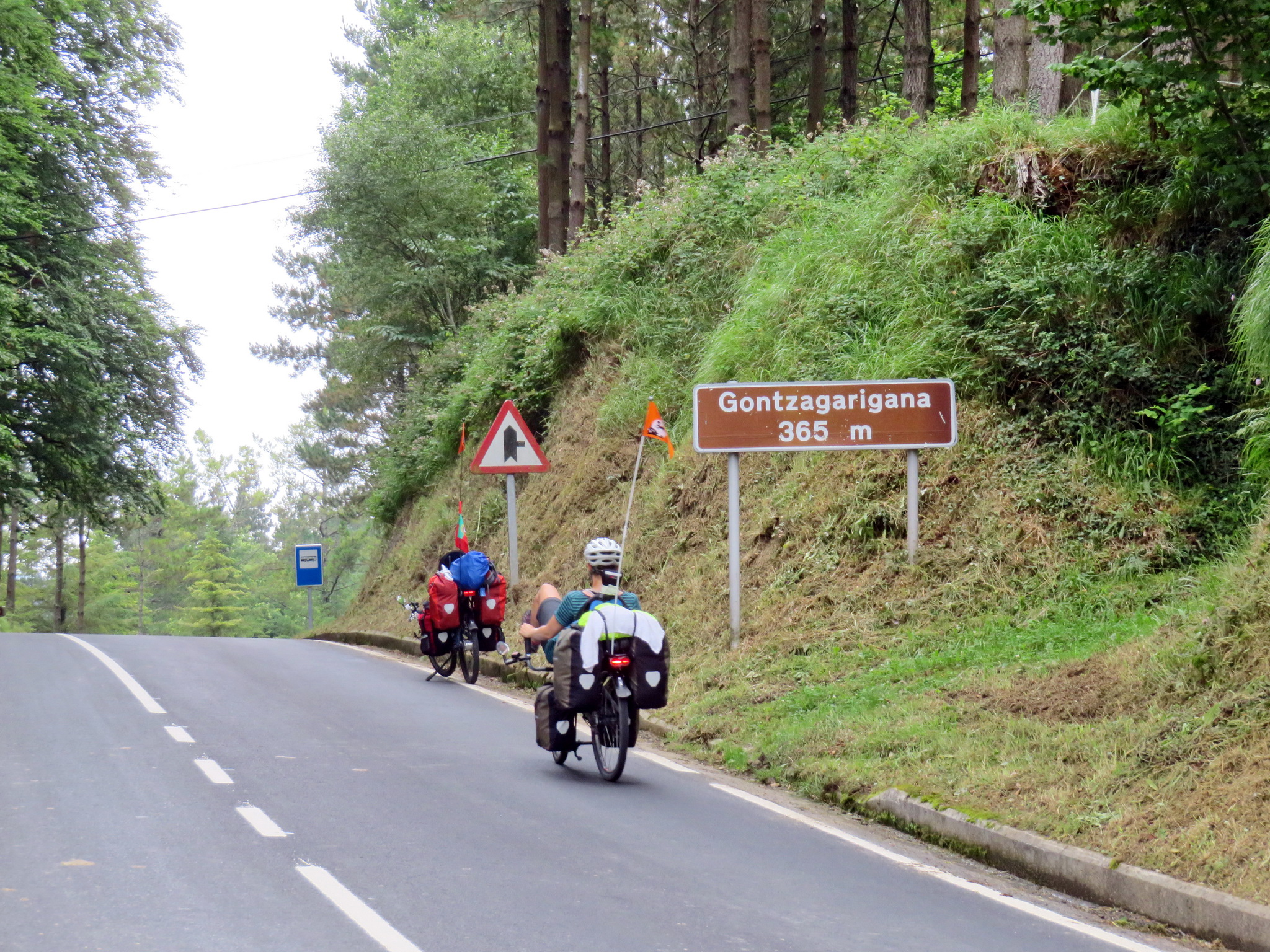
We left Gernika on the main road towards the south, stopping in one of the many bakeries on the way to buy a giant palmier (a heart-shaped biscuit). In Muxika we turned right on the 2121. It was again a lot of uphill but a very nice, quiet road. As it was Saturday, there were a lot of road cyclists and we started talking to some of them, which was lucky because they advised us on the road to take into Bilbao. Thus we followed the 2713 to Larrabetzu and on until we joined the N634.
Bilbao is surrounded by hills, and one of the few ways to get into the city without climbing steep roads is from the south on the N634, as we were advised by the road cyclists. It’s a big road but we took it on a Saturday so it was very quiet, and there’s plenty of space on the side to cycle on. When we were approaching the city boundaries we left the big road and followed Google Maps to the centre (which was also very quiet on a Saturday).
Bilbao to Santander
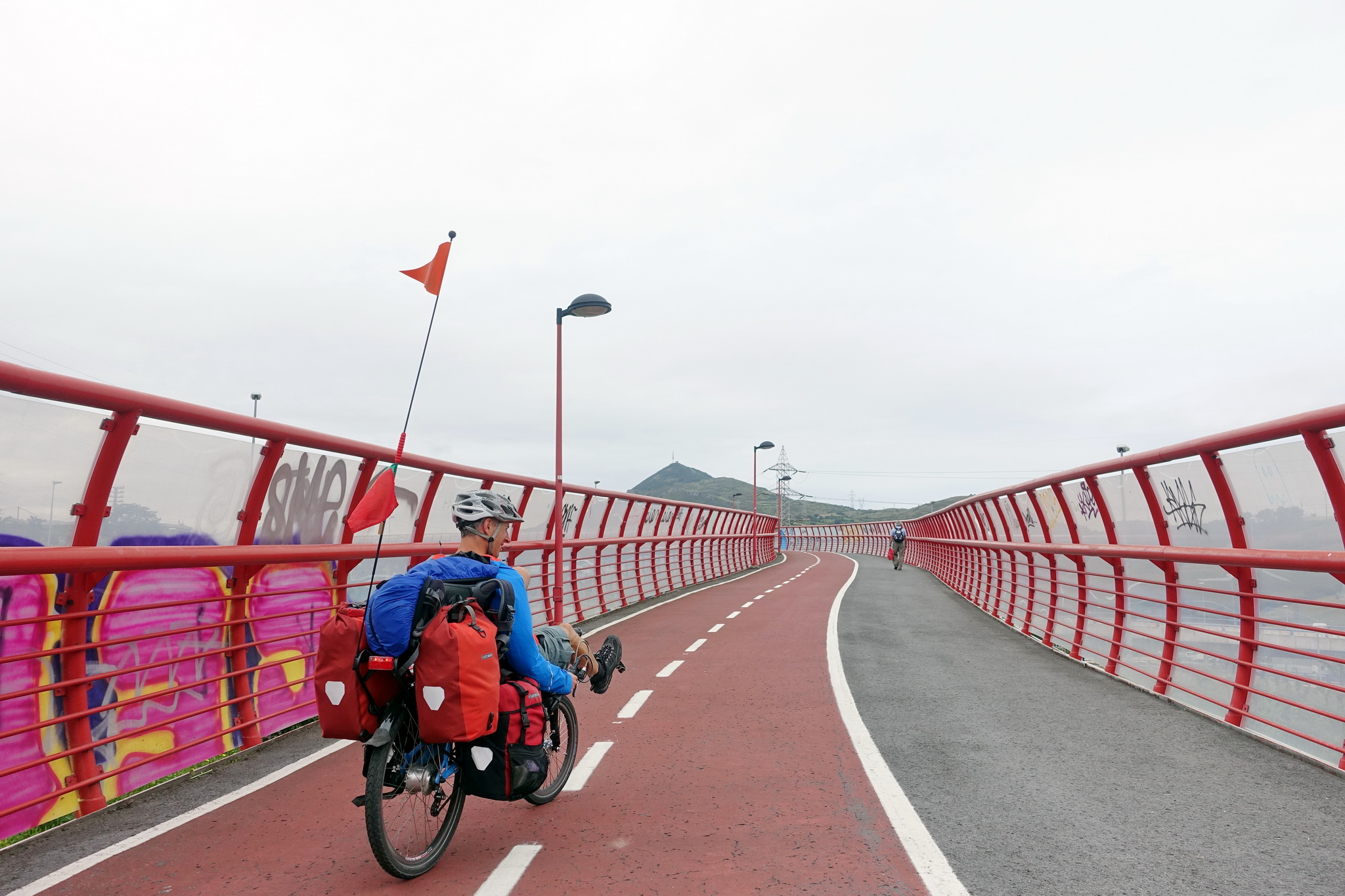
We chose to leave Bilbao on the right bank of the river, because we wanted to cross it with the famous Bizcaya suspended bridge. We joined the cycle path at Puente Euskalduna and followed it along Agirre Lehendakariaren until its end, then joined the road by the riverside until the suspended bridge, which is fun to cross. On the other side in Portugalete there’s a short but very steep road up to Avenida Abaro (I had to push), and then you basically follow this road until you reach a great bicycle path crossing over the motorway (this is also the Camino, so it’s marked). This is a very nice cycle way with picnic places, and it continues until the beach.
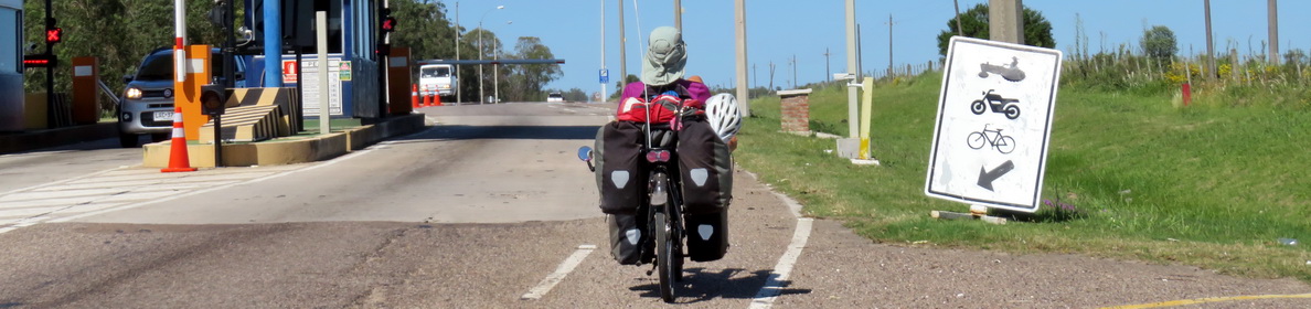
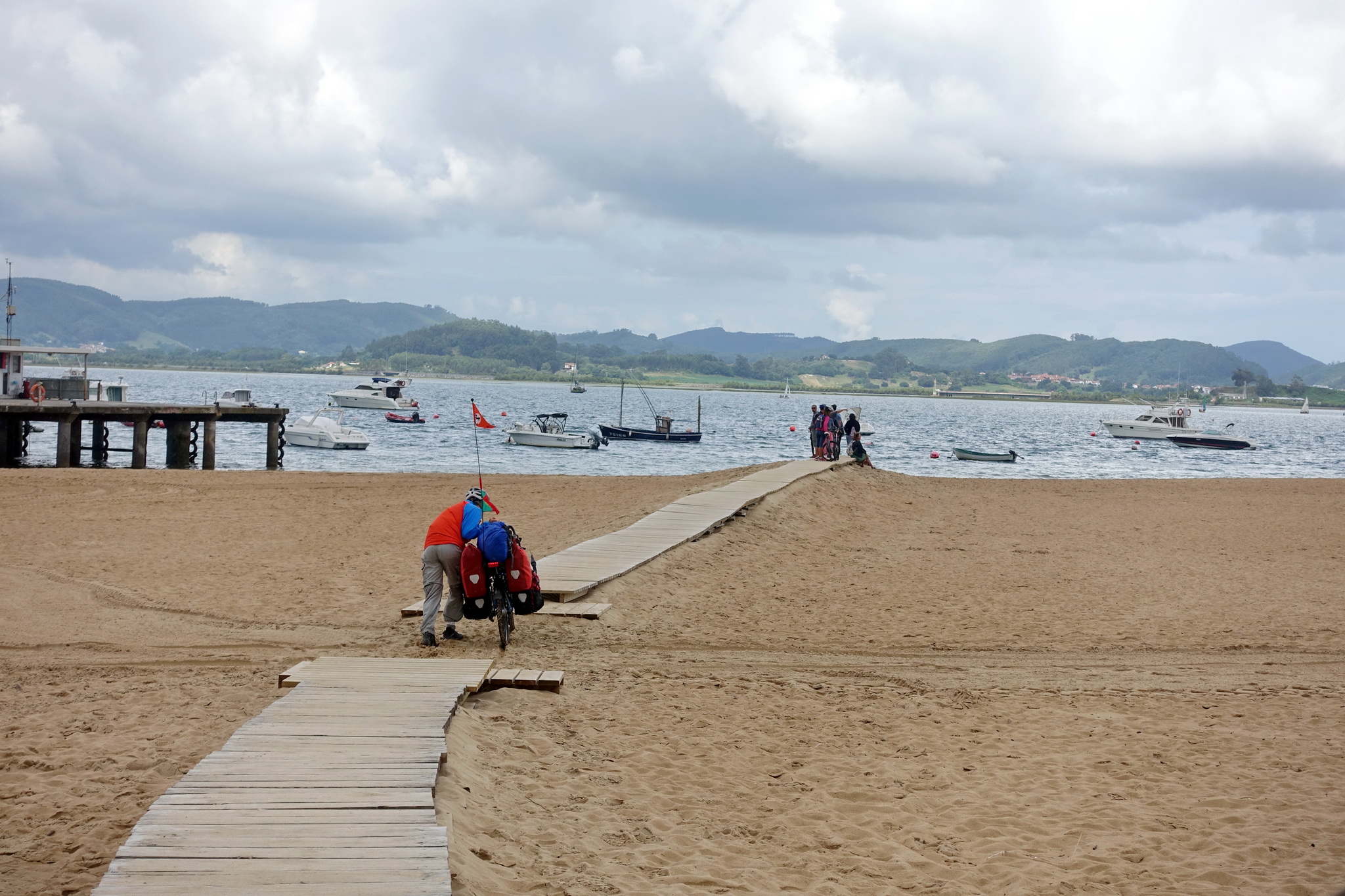
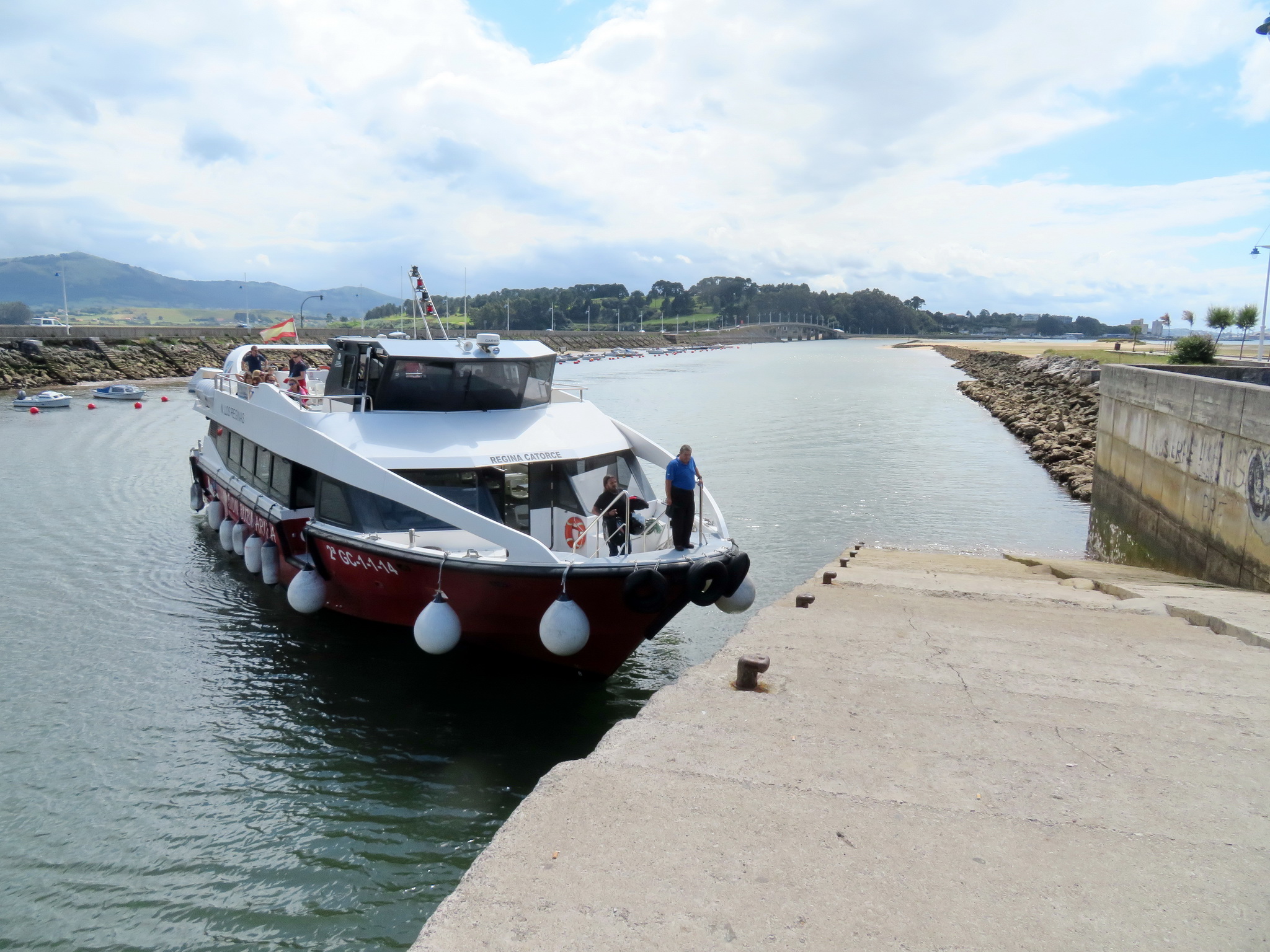
We didn’t have beach weather so we left the cycle way in Sanfuentes to take again the N634 which took us up a hill and down again to Castro Urdiales. From there we continued along the shore to Islares, which is basically a camp site and not much else, but the camp site has a restaurant and also offers pilgrims’ accommodation (bunk beds in a big tent with fridge and microwave) which we used and found very convenient. From Islares we continued on the N634 to Laredo, where the road turns around the river delta. Cyclists can use the boat to shorten the way. In Laredo, you have to cycle parallel to the beach until the end (it’s called El Puntal), where you push the bicycle down the beach to catch the boat which goes back and forth often. The access to the boat is a bit tricky as it’s on a small walkway, so you have to take off the panniers and carry them and the bicycle up separately. The guy on the boat helped us out and in the end it was not a big problem. On the other side we crossed Santoña to join another cycle path and later the N141 to Somo. From this road, there are several opportunities to join beaches (which we didn’t do). From Somo there are again regular boats to Santander. It’s a bigger boat than the one from Laredo, but you’ll also need to take off the panniers and carry the bicycles on board. It arrives right in the centre of Santander.
Santander to Gijón
We chose not to stay in Santander and left right from the boat. We took the big avenue right in front (Paseo de Pereda), which looked a bit daunting at first but in the end was pretty easy to tackle, as we mostly used the right-hand lane and cars were not driving very fast. There are a couple of tunnels where bikes are not allowed but it’s easy to go around them to the right. We continued straight all the time and the road became the N611 which we followed until around Barreda. This stretch of road was not very interesting, quite industrial, dusty and sometimes a bit heavy in traffic, so we were happy to turn onto a smaller road towards Queveda. There is quite a selection of accommodation in this region because of the Altamira caves, we stopped at Altamira camping which has a swimming pool, good showers and a basic restaurant.
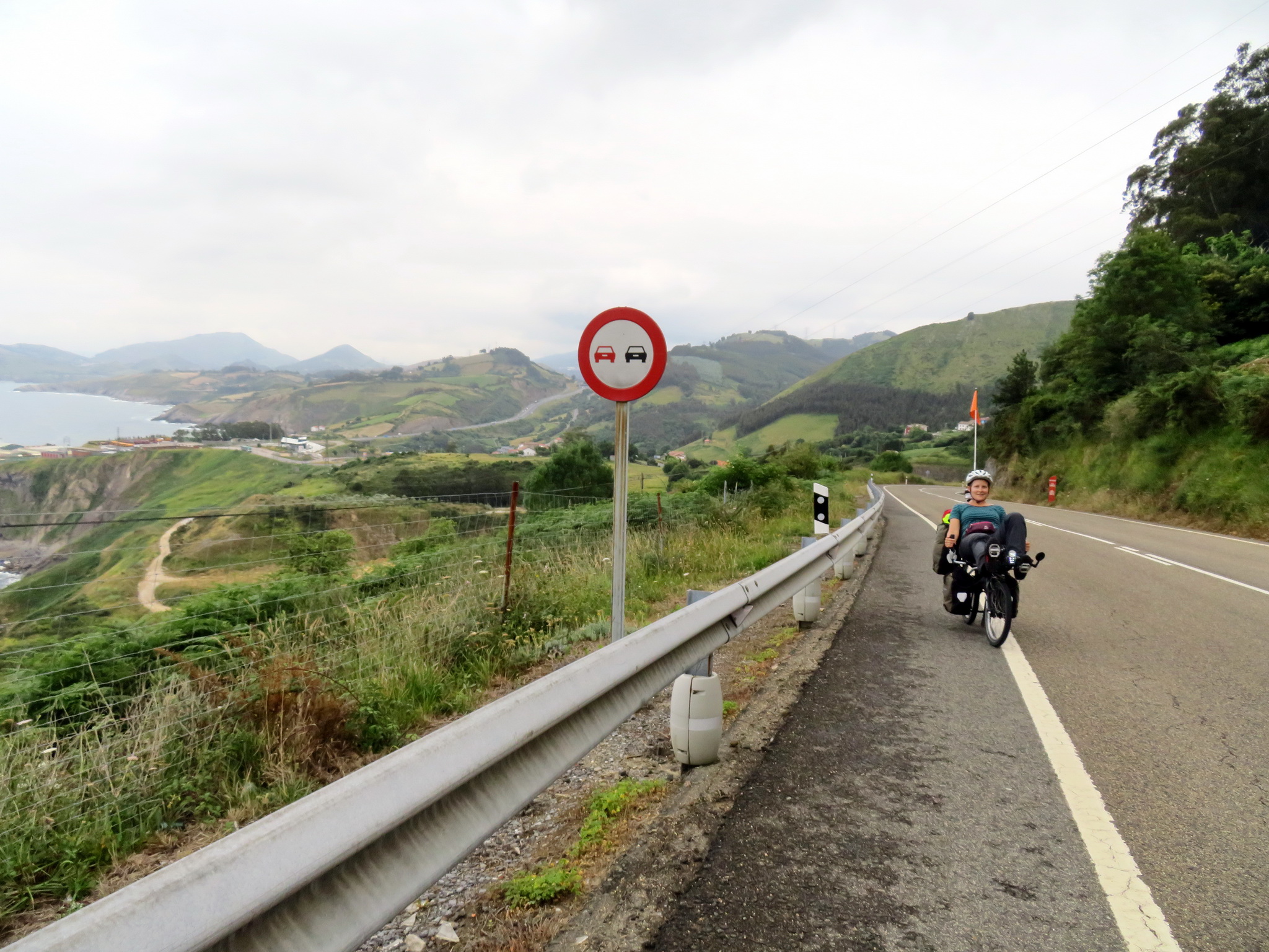
From Queveda we continued on the Camino which follows road 131, which goes up and down and has some nice views. We stopped in Comillas for coffee in a nice bakery, and later joined again N634 which became more and more quiet as we crossed into Asturias (a new motorway had recently opened and it runs parallel to the N634 which is a great advantage). The scenery is beautiful on this stretch, with views ofthe mountains and the ocean and very green countryside everywhere. We stopped in Llanes and took a day off to explore the Picos de Europa mountains by rental car. It’s a beautiful region which could also be explored by bicycle if you have more time than we had, although there are some steep climbs.
We took road 263 out of Llanes and on to Ribadesella, where we joined the N632 (little cousin of our friend the N634). The Camino sometimes follows the N632, and sometimes takes smaller parallel roads. We were tempted to take one of the smaller roads and tried following the Santiago signs once, but quickly abandoned as it immediately started climbing steeply up a hill. Back on the N632 it was nicer, the road was still quiet, there were nice views and the uphills were not steep. We stopped at a “first-class” campsite before Villaviciosa which had good services and a swimming pool.
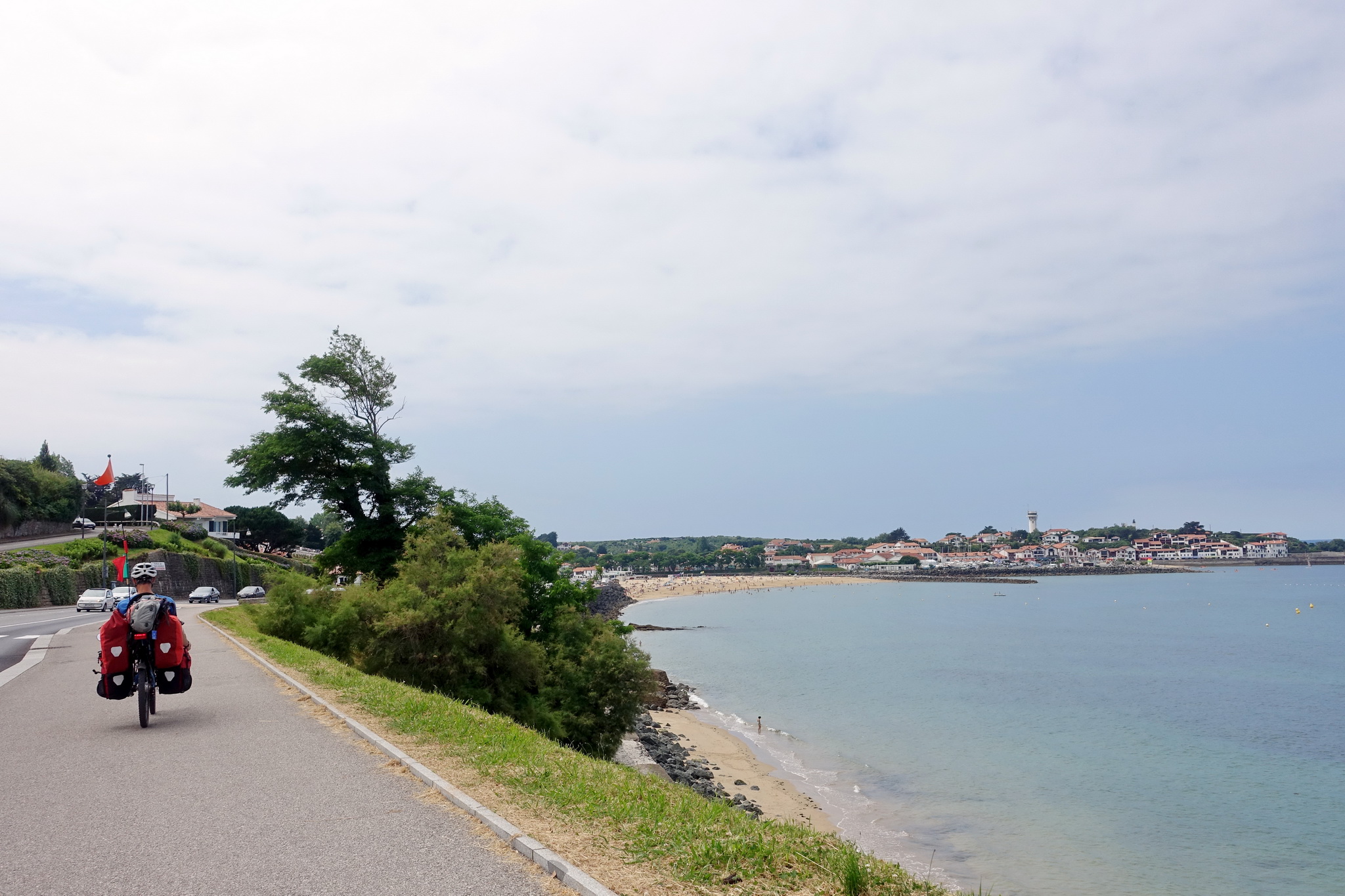
In Villaviciosa the Camino splits: the northern way continues along the coast, whereas the original way (camino primitivo) goes inland to Oviedo. The camino primitivo is known to be hard, with very mountainous terrain and steep uphills. Having this in mind and also liking a lot our swims in the sea we decided to continue on the northern way. Between Villaviciosa and Gijón we stayed on the N632, except for the last bit where we took a smaller road towards Somió and arrived directly at Gijón’s overcrowded beach and its cycle path, which we followed all the way until the third beach (which was very windy).
Gijón to Lugo
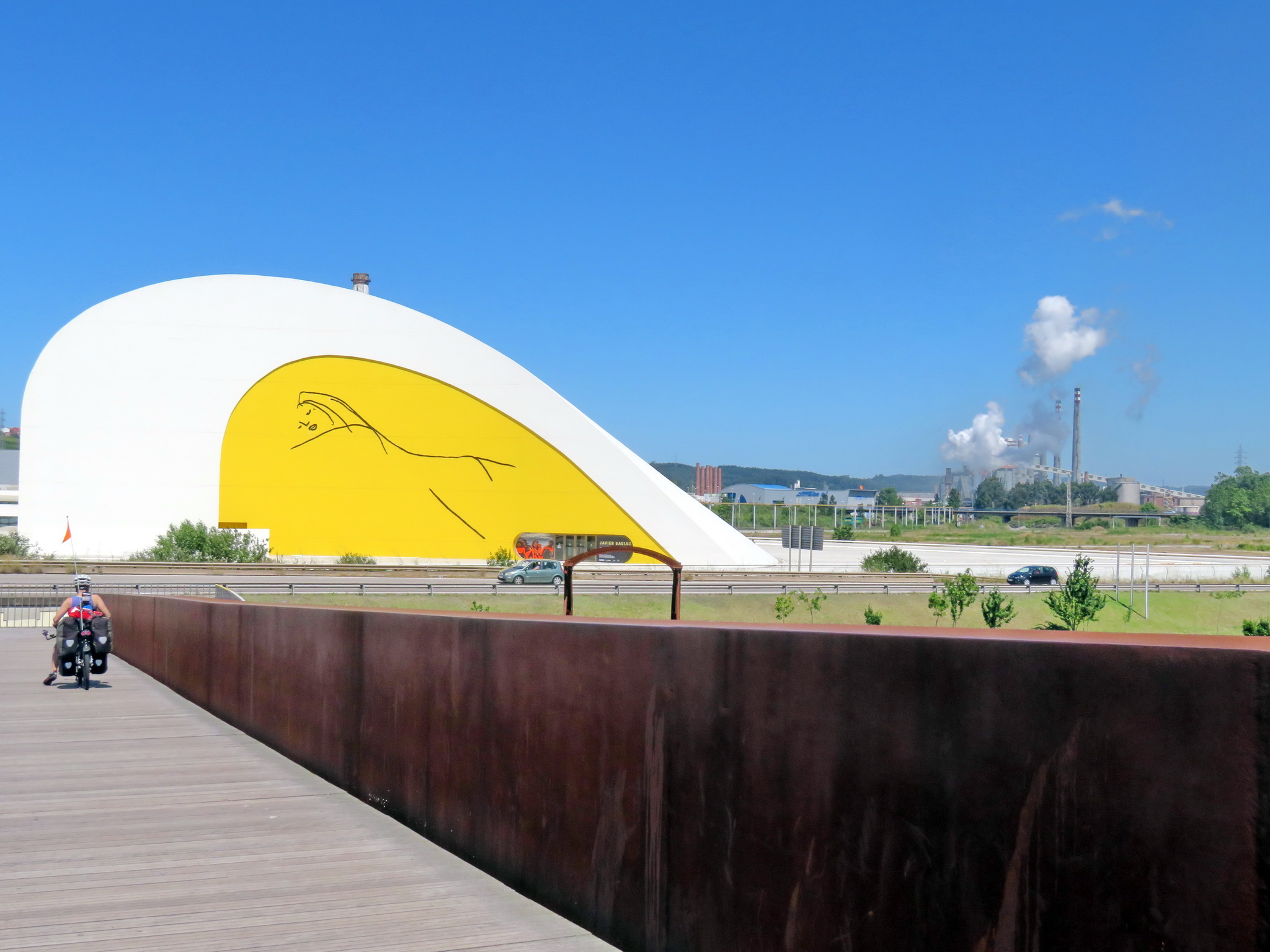
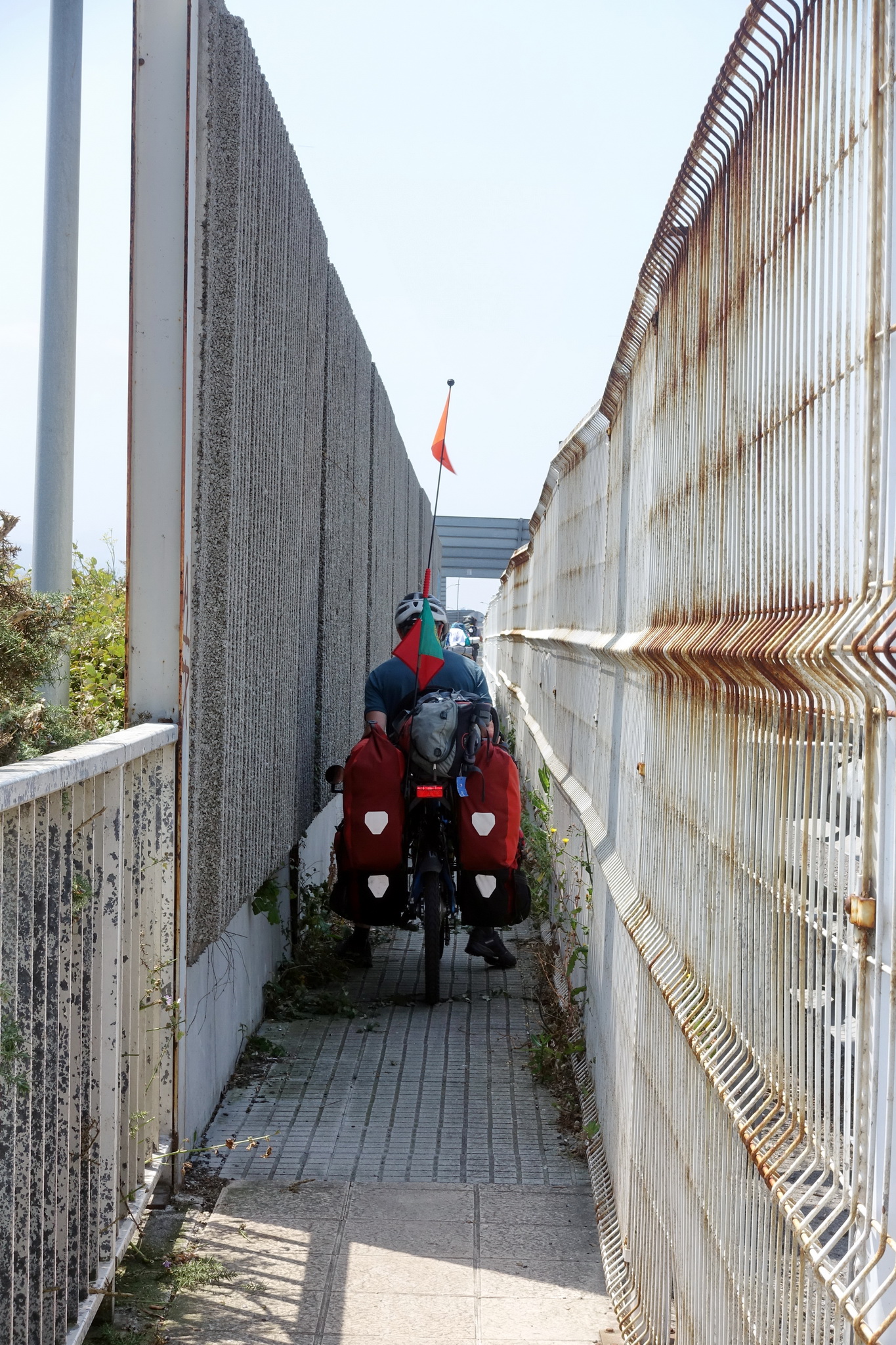
From Gijón we took AS-19 out of town and towards Avilés. This stretch was probably one of the ugliest we had done so far, the region being very industrial. We got to see a lot of fuming chimneys and trucks and the road was very dusty. Arriving to Avilés we were surprised to discover the Oscar Niemeyer centre which we reached by crossing a pedestrian bridge and which has a nice terrace for a coffee. We then continued on the N632a via Salinas and to Piedrasblancas, where we turned right on a quieter road to reach a beach called Bahinas (the village is called Santa Maria del Mar), where we stayed in the (slightly overpriced) campsite next to the beach.
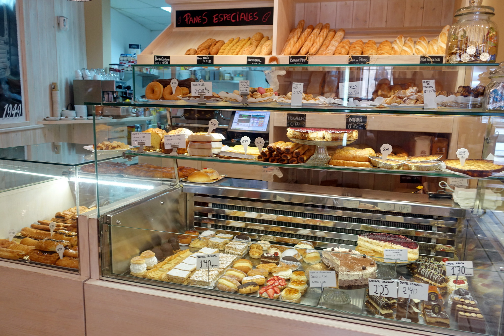
We continued on N632a. The stretch to Luarca was beautiful, although quite tiring. The road is very quiet and it is a constant up and down as the road goes down into a river valley and up again on the other side, while the motorway goes more or less straight, sometimes on very high viaducts. The scenery changes between lush green forest and ocean views from the plateau. Before Luarca the road joins the N634 again and then becomes slightly flatter. We stayed at a campground by the sea above Luarca (Los Cantiles), a very nice place with great services which made us stay for two nights. There are a few small beaches around here, ok for swimming but not particularly inviting otherwise. Luarca has a lot of really nice bakeries selling all kinds of artisan breads, cakes and cookies.
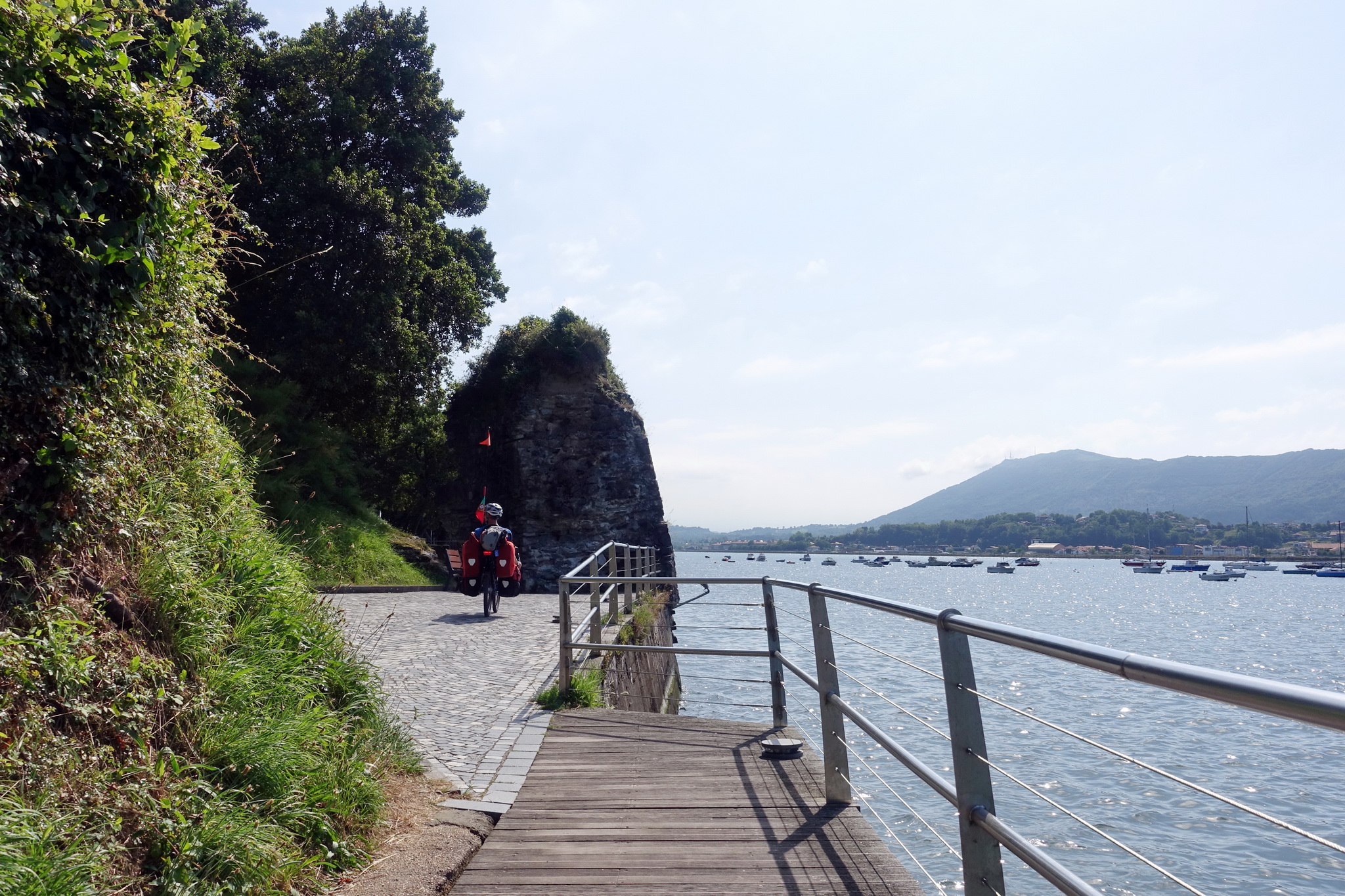
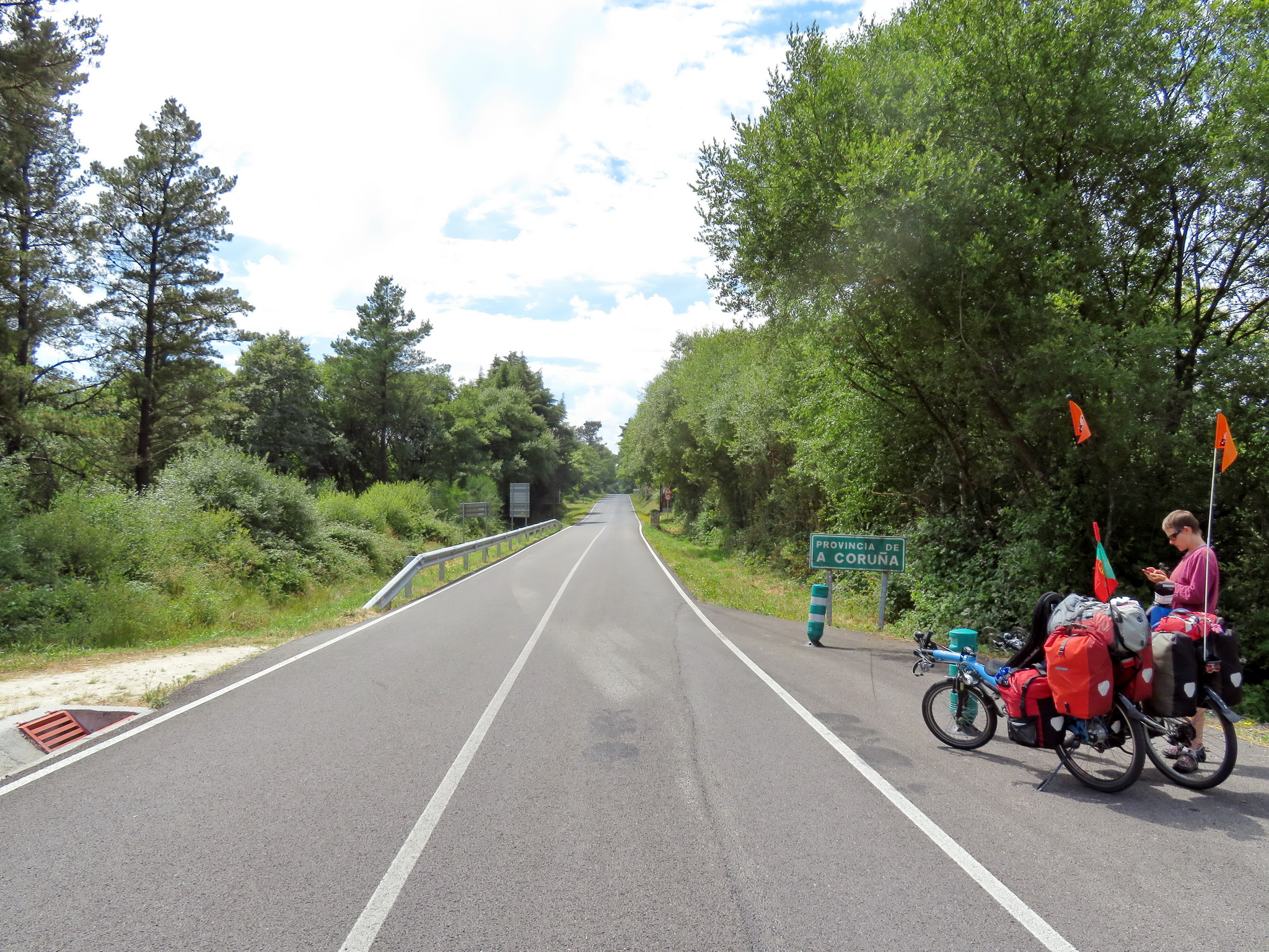
From Luarca we continued on N634 all the way to Mondoñedo. This stretch was much flatter, and one of the highlights is the bridge connecting Asturias and Galicia close to Ribadeo. It is a motorway bridge but with a part for pedestrians and cyclists and this shortens the way a lot, as the N634 has to go all the way around the river’s mouth. The walking/cycling part of the bridge is not very large, for our recumbents it was actually quite tight. We didn’t stay in Ribadeo and continued straight on N634 which turns inland after San Cosme. The road goes steadily uphill but doesn’t get too steep. After Vilanova we took the N634a for a bit which was a nice stretch in the forest.
In Mondoñedo we stayed in a guesthouse which made special prices for pilgrims, but there’s also a pilgrim’s accommodation in an old monastery (double rooms) which looked nice from outside. We continued on the N634 until Abadín, where we left the Camino for a bit because we wanted to visit Lugo (the camino primitivo passes through Lugo). So we took route 113 which was an easy straight road, mostly downhill or flat, with few services or villages. We then joined the N640 for the last bit to arrive to Lugo. This road was busy and not very nice, but generally had enough space for bicycles. Lugo already has the “Camino de Santiago feel”, lots of pilgrims and information about the way. We had a bit of a hard time finding a place to sleep which also had a space for our bicycles, as we avoid leaving them in the street overnight. In the end we stayed at Hostal San Roque, where the elevator was big enough to get our bicycles up to the 1st floor and where we could leave them in the reception area overnight. Lugo was well worth the visit, with its beautiful cathedral and its roman city walls.
Lugo to Santiago de Compostela
From Lugo, we wanted to take a route that would not have too much traffic, so we decided against the N540. The Camino follows small roads but we estimated that it would go up and down a lot. So we chose to take road 232 through Friol and join the official northern way at Carballo, where we joined the N934. It turned out to be a good choice, as it is a very quiet countryside road without too many hills. The downside of going away from the Camino is that there are fewer services, although Friol has a couple of supermarkets, cafés and we also saw a guesthouse. After joining the N934, we started seeing lots of pilgrims and there was more accommodation. We stopped in Arzúa which was busy with pilgrims, as it’s the place where all the ways – camino del norte, camino primitive and camino francés – join. There are many guesthouses and pilgrims’ hostels. We chose a guesthouse next to the centre for apiculture.
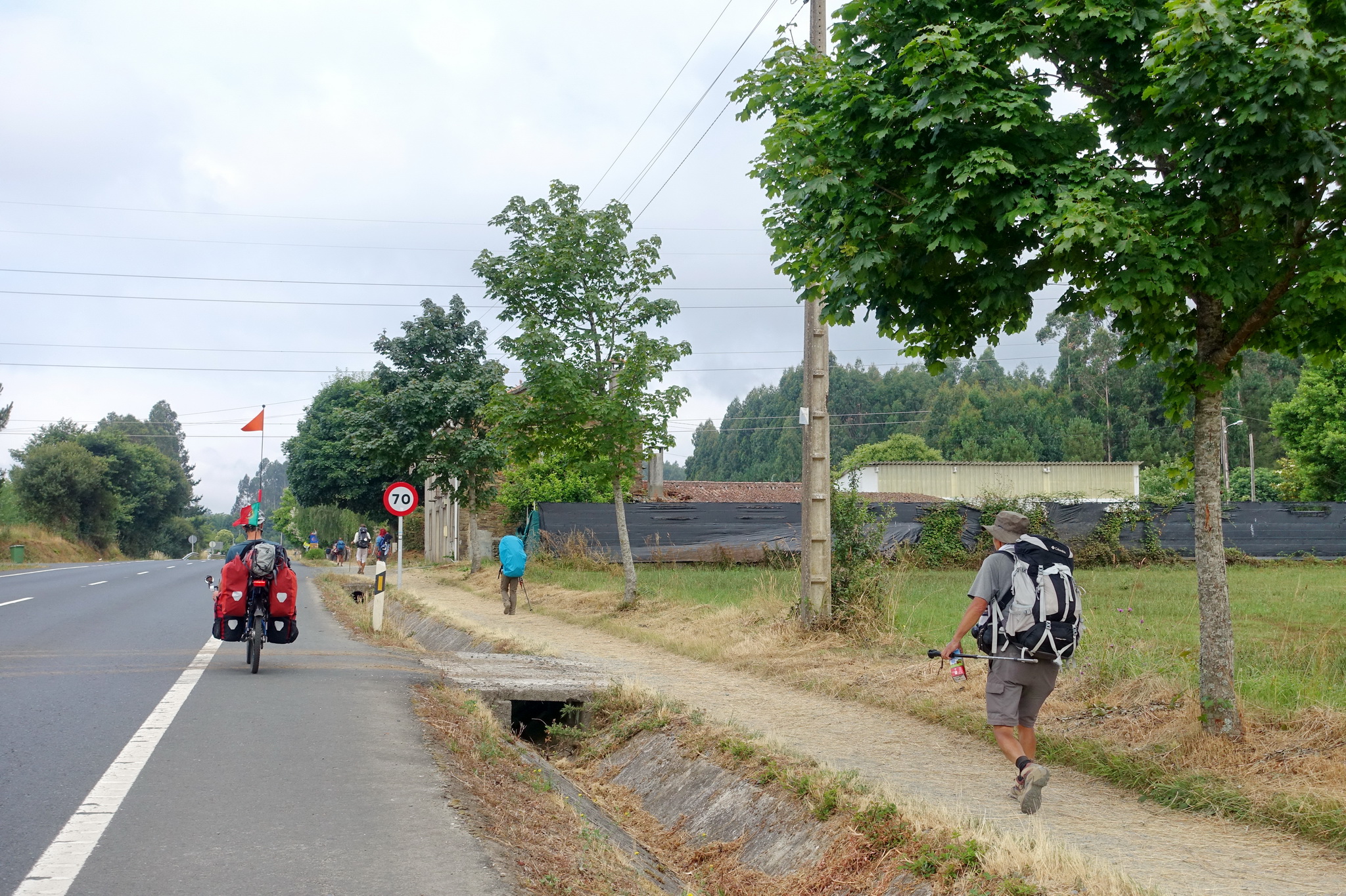
We continued on to Santiago on the N547. This last stretch was already very busy with pilgrims, most of them on foot but some other cyclists too. There was a bit of motorized traffic but they seemed very used to cyclists there. A few kilometres before Santiago, a cycle path starts but it can be tricky to find without a GPS (there were roadworks under way, so this may change in the future). The road became larger and just before turning into a motorway (at a large roundabout) we had to cross the road and the cycle way started towards the left. From then on the route is well signposted (it’s the N634a), except for the centre of Santiago where we had to use the GPS a few times – cyclists are not allowed in the pedestrian zone and the way for cyclists takes a bit of a detour, but we eventually made it in front of the cathedral.
What a detailed report, read part of it so far!